Jakob Reed · 21 September 2026
Researchers at a Polish laboratory have combined expertise from environmental science, aerospace engineering, and data analytics to create monitoring tools that address both ground-level pollution and threats from objects in orbit, and the work draws on sensor networks along with satellite observations to generate real-time data streams.
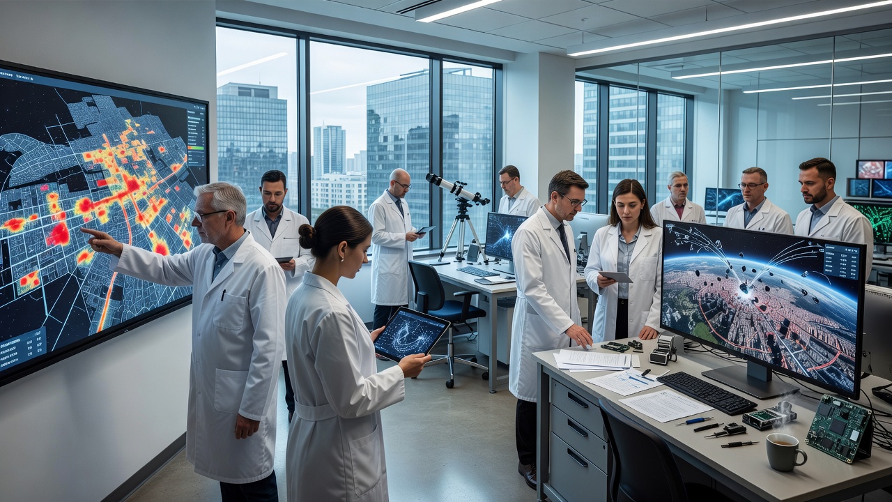
Urban pollution tracking forms one core element of the project, where teams deploy arrays of compact detectors that measure particulate matter, nitrogen oxides, and volatile organic compounds across city districts, while these devices feed information into centralized platforms that map concentration patterns and predict dispersion based on wind adn traffic variables.
Data from European cities show that integrated sensor grids improve the resolution of air quality maps compared with traditional fixed stations alone, and according to the European Environment Agency such approaches help authorities identify emission hotspots near industrial zones and major roadways more precisely. The Polish effort incorporates machine learning models that process readings from mobile units mounted on public transport vehicles, which allows continuous updates rather than periodic snapshots.
Cross-referencing with meteorological records further refines forecasts, so city planners receive alerts about potential exceedances of regulatory thresholds days in advance, and this capability supports targeted interventions such as temporary traffic restrictions during high-pollution episodes.
Parallel work focuses on orbital hazards, where the same laboratory adapts radar calibration techniques and optical tracking algorithms originally developed for atmospheric studies to monitor space debris and active satellites. Small ground-based observatories in Poland now contribute observations to international catalogs, and these inputs help refine predictions of close approaches that could affect operational spacecraft or the International Space Station.
Researchers note that combining ground sensor data with public orbital element sets from agencies like NASA creates hybrid models that reduce uncertainty in trajectory calculations, and the approach proves especially useful for objects in low Earth orbit where atmospheric drag introduces variability.
The laboratory's strength lies in its cross-disciplinary structure, which brings physicists, computer scientists, and urban planners into shared workspaces, and this setup allows rapid iteration on software that fuses pollution readings with orbital data for broader environmental impact assessments. For example, one module correlates high-altitude aerosol measurements with ground-level pollution spikes to study how stratospheric particles influence local air quality after volcanic or launch events.
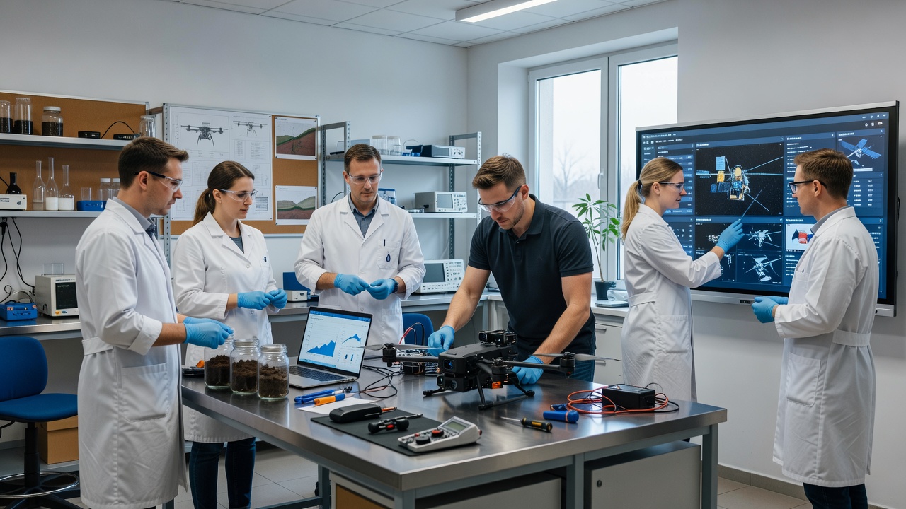
Hardware developments include lightweight spectrometers that can be deployed on drones for vertical profiling, while algorithms optimize data transmission to minimize latency during simultaneous urban and space monitoring sessions. Teams have tested these systems in field campaigns around Warsaw and Kraków, where results demonstrated consistent performance across varying weather conditions.
Project milestones include a September 2026 demonstration scheduled to showcase an updated dashboard that merges both domains into a single interface for end users in government and industry, and preliminary trials indicate the platform can process combined datasets within minutes of collection. Collaboration with institutions in other European countries supplies additional validation datasets, which strengthens the statistical reliability of the underlying models.
Funding sources encompass national research grants and partnerships with technology firms that supply calibration standards for the sensors, and these resources support ongoing refinement of the detection thresholds for both pollution events and orbital conjunction risks.
The Polish laboratory continues to expand its sensor deployments and refine analytical tools, which positions the initiative to contribute measurable improvements in how authorities track and respond to environmental challenges at multiple scales. Ongoing publications and open data releases allow other research groups to build upon the foundational methods, and the September 2026 event will provide a public checkpoint for evaluating progress across the integrated systems.